HATFIELD-MCCOY TRAILS • MATEWAN, WEST VIRGINIA

RIDER RESOURCES.

Useful trail information, local food, rentals, events and rider know-how for making the most of your trip to the Hatfield-McCoy Trails.

TRAIL INFORMATION

Know Your Trail Markers

Hatfield-McCoy Trails use color-coded difficulty ratings and clearly marked intersections to help you choose the right trail and stay on course.

Green — Easiest

Generally wide and more level. These are the easiest trails in the system.

Blue — More Difficult

Generally narrower and more uneven, with rocks and other obstacles along the trail.

Black — Most Difficult

Extremely steep with larger rocks and more obstacles. Recommended for experienced riders.

Red / Black

The most difficult trails, with additional restrictions. Riders must be 18 or older, no machines under 200cc, and no two-wheel-drive machines are allowed.

Orange — Single Track

Single-track trails are divided into More Difficult and Most Difficult ratings and are intended for experienced riders only.

West Virginia mountain overlook

Trail Hand Signals

When meeting oncoming riders, use your hand to show how many machines are still behind you. The last rider closes their hand into a fist.

Trail hand signals: fist means last rider, one finger means solo, two means two behind, three means three behind, four means four behind, and full hand means five or more behind
STAY ON COURSE

Reading Trail Signs

Hatfield-McCoy Rockhouse Trail 3 difficulty sign

Intersection Markers

Trail intersections are marked with signs showing the trail system, trail number, direction of travel and difficulty rating. Use them to confirm you're still on the trail you intended to ride.

No Entry & Caution Signs

A NO ENTRY sign means that route is not part of the trail system. Temporary signs may identify closures, construction or repairs. Yellow caution markers warn riders about hazards such as coal trucks, emergency vehicles, heavy equipment or landowners.

Read The Sign Before You Enter

Trail signs show the trail number, difficulty level and which vehicle types are allowed. Check the sign before entering a trail instead of assuming the next section is the same difficulty as the one you just left.

BEFORE YOU HEAD OUT

Ride Smart.

Choose trails that match the ability of everyone in your group, pay attention to posted signs, and don't enter trails marked NO ENTRY. Conditions and closures can change, so posted trail signage should always take priority.

LOCAL FOOD & DRINKS

ATV-Friendly Places To Eat.

Ride-in food stops organized by trail town throughout the Hatfield-McCoy Trails area.
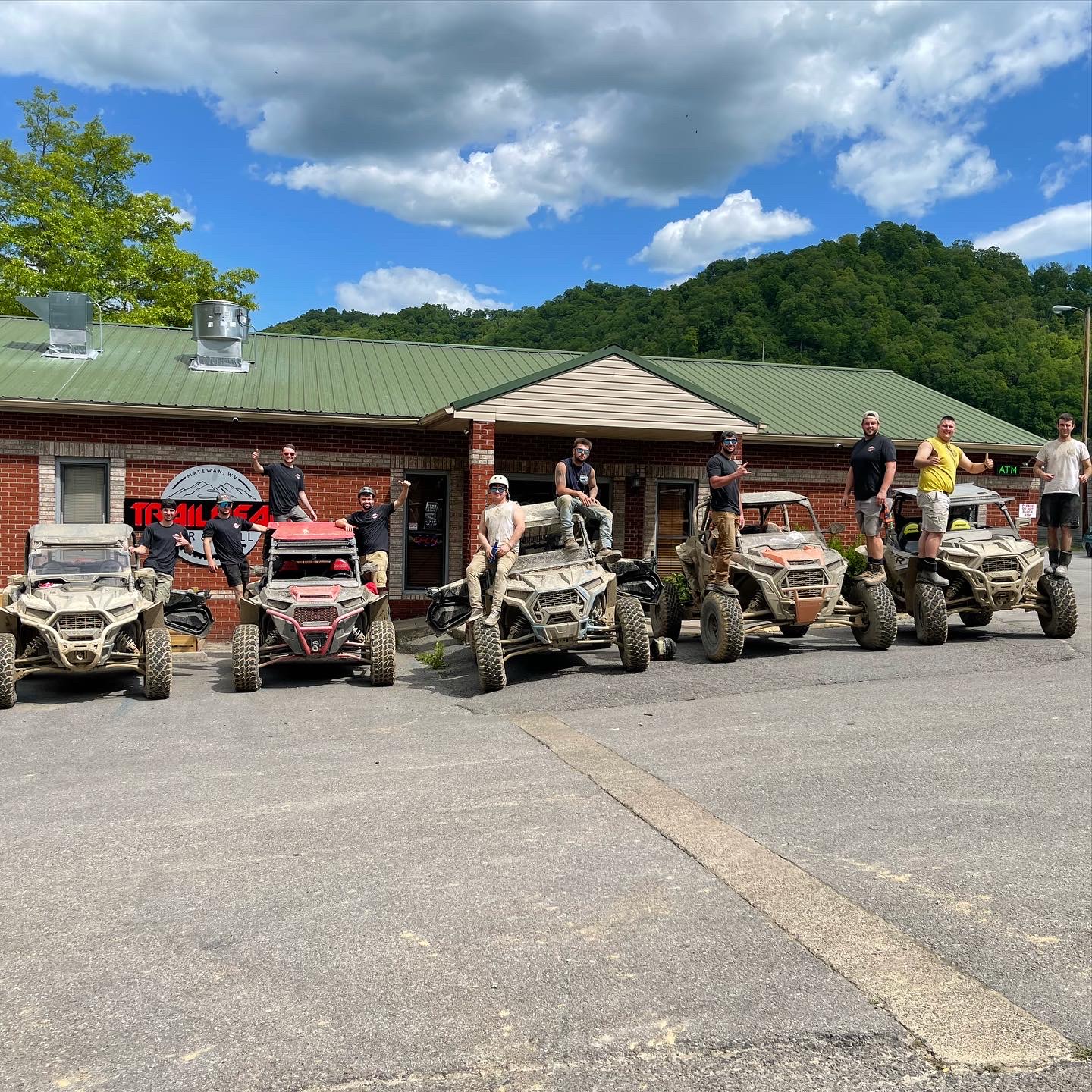
Matewan — Trails 21 / 31 / 59

Trailhead Bar & Grill
Wingo's Grill
Mi Pueblito — no alcohol
Snack Shack — Kentucky side
Giovanni's Pizza — North Matewan — fuel
Tipple Tavern — on Trail 59 at Devil's Backbone Resort; swimming pool

Taylorville — Trail 59

Sherry Bo's Diner — home-style food and small-town diner atmosphere.

Williamson — Trails 10 / 24

Starter's Grill — sports bar
Sazon Mexican — no alcohol
Track's End — known for breakfast
3 Guys Pizza & Brew
Andy's Pizza & More
34:Ate — healthy and vegetarian options
Dandy's — bar only, open late

Delbarton — Trail 14

GiGi's Pizza & More — pizza and Pac-Man arcade
Maria's Drive-In — weekdays
Pizza Palace

Gilbert — Trails 12 / 51 / 38

Los Amigos — Mexican, beer available
Pizzamingo
Giovanni's Pizza — Gilbert
McDonald's

Man — Trails 10 / 21

Keith's Bar & Grille — iconic ride-in ATV grill
The Broken Axle — HMT merchandise
Cliffside Restaurant
Fire Pit Pizza
Giovanni's Pizza — Man
Wendy's

UTVs crossing a mountain trail bridgeUTV riding a muddy trailDirt bike and ATV riders on the trailRed dirt bike with American flag overlooking the trails
ATV / UTV RENTALS

Need A Machine?

Reserve before your trip whenever possible. Availability is not guaranteed.
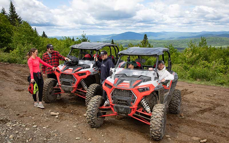
Matewan Area

Ridge Runner Outfitters & Guides LLC
100 Adventure Lane, Matewan, WV 25678
Office: 304-236-5516

Local Goat SXS Outfitters
337 Riverside Drive, Delbarton, WV 25670
304-784-0836

Williamson

Trail 10 Tours
126 W 2nd Ave, Williamson, WV 25661
606-257-1167

Destination Company
1426 W 3rd Ave, Williamson, WV 25661
304-601-0708

Gilbert

Mountaintop Adventures
703 Twin Hollow Branch Rd, Gilbert, WV 25621
304-664-1234

Man

Trails Inn SXS UTV Rentals
37 Mountaineer Hwy, Man, WV 25635
304-785-4485

MAJOR RIDING EVENTS

Plan Around The Big Weekends.

Dirt Days — Williamson

Major summer off-road event in downtown Williamson with trail access, mud pit action, dirt drags, parades, live music and food vendors.

Hatfield-McCoy Rampage — Man

August dual-sport and adventure motorcycle event based in Man, WV, with organized riding, meals, a bike show and fireworks.

National TrailFest — Gilbert

October gathering in Gilbert with large-scale trail riding, poker runs, drag racing, entertainment and manufacturer demos.

2026 TRAIL INFORMATION

Permits & Trail Network.

A few numbers worth knowing before you load up and head for the trails.

$26.502026 West Virginia resident trail permit.
$652026 non-resident trail permit.
1,200+ MilesThirteen trail systems spanning nine counties in southern West Virginia.
onX Offroad mobile trail navigation map
TRAIL NAVIGATION

Take The Map Offline.

Cell service can disappear quickly in the mountains. onX Offroad provides GPS trail navigation with maps that can be downloaded before your ride and used offline.

Useful On The Trail

Use the app to view trail difficulty ratings, vehicle allowances, trail openings and closures, trailheads and other recreation points. GPS tracking can also help you save waypoints for parking, obstacles, campsites and other locations you want to find again.

Download your maps before heading out so they're available when cell service isn't.

Explore onX Offroad →
UTVs riding a wooded trail
RIDE RESPECTFULLY

You're Riding Through Real Communities.

Community Connector Etiquette

Slow down when entering town, watch for children, keep engines as quiet as possible, avoid kicking up dust and be courteous to residents. Riding through town is a privilege.

Basic Trail Rules

User permits are required for operators and passengers. DOT/SNELL-approved helmets and eye protection are required. Trails are open during daylight hours only. Stay on marked trails, obey posted signs and do not carry or consume alcoholic beverages on the trails.

RIDE THE TRIO

Devil Anse Connects The Region.

The Devil Anse system links Buffalo Mountain and RockHouse, giving riders access to a huge connected riding area through Matewan and the surrounding trail towns.

First-Time Rider Tip

Trails are marked at intersections and decision points. Green is easiest, blue is more challenging and black is expert-level. Posted signs and trail closures always take priority over printed or digital maps.

FOR PILOTS & AIRCRAFT OWNERS

FLY IN.
RIDE OUT.

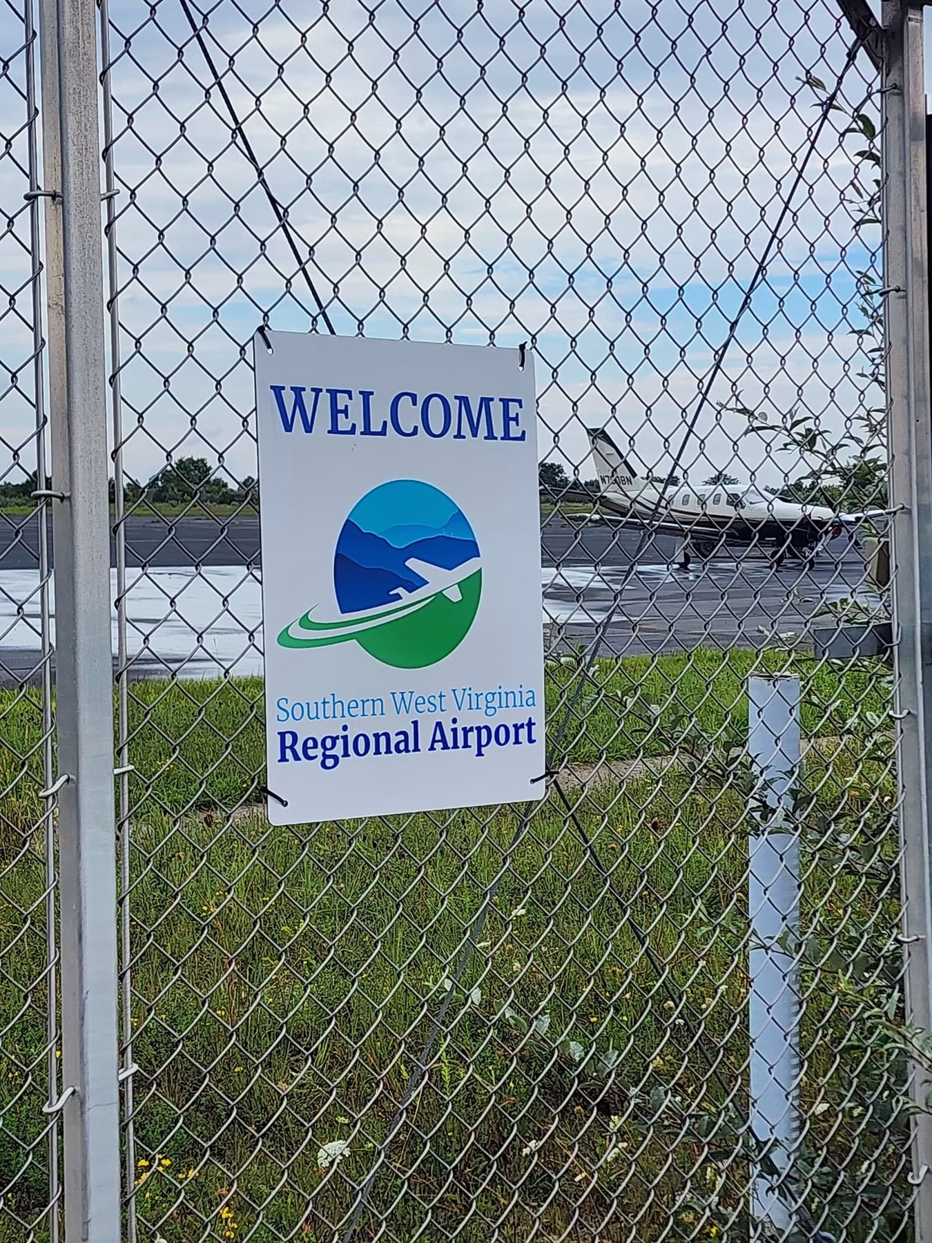
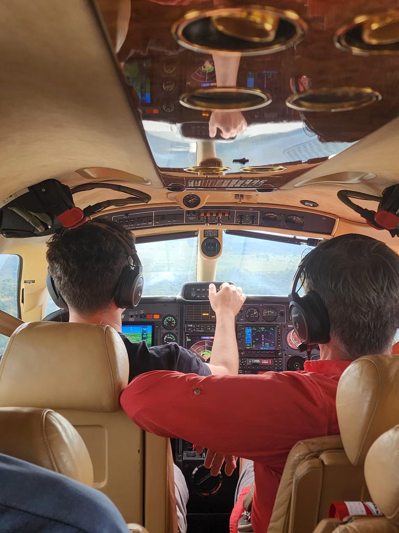
Turn the Hatfield-McCoy Trails into a fly-in adventure. Land at Southern West Virginia Regional Airport, arrange a local side-by-side rental, and trade the ramp for the trails.

KEBD
Southern West Virginia Regional Airport
Williamson, West Virginia • Public-use • Nontowered
Runway 08/265,001 × 75 FTAsphalt • PAPI • REIL • MIRL
Fuel100LL + JET-A1100LL 24-hour self service
CTAF / UNICOM122.8Airport lighting via CTAF
Elevation1,883 FT MSLMountain airport environment
Matewan17 MIN DRIVEFrom KEBD to the Matewan trail area
KEBD runway 08/26 airport diagram
GENERAL AVIATION • KEBD • HATFIELD-McCOY TRAILS

Fly to the Hatfield-McCoy Trails

Looking for an airport near the Hatfield-McCoy Trails? Southern West Virginia Regional Airport (KEBD) in Williamson gives general aviation pilots a convenient fly-in option for a riding trip in southern West Virginia. Land at KEBD, arrange your ATV or UTV rental, and head toward Matewan and the Devil Anse, Buffalo Mountain and Rockhouse riding area.

KEBDSouthern West Virginia Regional Airport
5,001 × 75 FTRunway 08/26 • Asphalt
122.8CTAF / UNICOM
~17 MINDrive to Matewan

For pilots planning a Hatfield-McCoy Trails fly-in, KEBD offers 100LL and Jet-A1, RNAV (GPS) approaches to Runways 08 and 26, and access to the Williamson–Matewan area. Off-road rental delivery can make it possible to transition from airplane to trail machine without turning the trip into a long ground-transportation day.

KEBD GROUND ACCESS

Aircraft Parking & Gate Access

Use this overview after arrival to identify the GA parking ramp and airport access gate. With north oriented toward the upper-right of the map, the gate is located on the southwest side of the GA parking area, where the airport access road meets the ramp.

KEBD Southern West Virginia Regional Airport parking and access map showing the GA ramp, southwest access gate, access road, and UNICOM 122.8 gate-code location

For situational awareness only. Use current airport information and follow posted airport signage and procedures.

PILOT QUICK ANSWERS

Flying to the Hatfield-McCoy Trails: Pilot FAQ

What airport should I use to fly to the Hatfield-McCoy Trails near Matewan?

Southern West Virginia Regional Airport (KEBD) in Williamson, West Virginia is a convenient general aviation option for the Matewan area and nearby Hatfield-McCoy riding.

Can I fly into KEBD and rent a UTV or ATV?

Yes. The fly-in concept shown here pairs a KEBD arrival with separately arranged off-road rental delivery or transportation. Arrange the machine and delivery details with the rental provider before departure.

How far is KEBD from Matewan?

Matewan is approximately a 17-minute drive from the airport under normal road conditions.

Does KEBD have instrument approaches?

Yes. Published RNAV (GPS) approaches are available for Runways 08 and 26. Pilots should use current FAA charts, NOTAMs and official preflight information for flight planning.

What Hatfield-McCoy trail systems are near Matewan?

Devil Anse has its trailhead in Matewan and connects with the Buffalo Mountain and Rockhouse systems, creating access to a large connected riding area.

NEAREST REPORTED CONDITIONS

Aviation Weather

CHECKING
REPORTING STATION Finding nearest station…
OBSERVATION LIVE Latest available report
Ceiling / SkyMETAR • HUNDREDS FT AGL
VisibilitySTATUTE MILES
WindDIR / SPEED
Temp / Dew°C
AltimeterIN HG
VFR MVFR IFR LIFR
KEBD does not report on-field weather. Flight category is calculated from the nearest available NWS aviation observation. Conditions at KEBD may differ, especially in mountainous terrain. Always use official preflight weather and current airport information.
01

Fly to KEBD

RNAV (GPS) approaches are published for Runways 08 and 26.

02

Get Groundside

Gate access: use the current published UNICOM frequency as the gate code.

03

Grab a Machine

Arrange an ATV/UTV rental before arrival from one of the area rental operators listed on this page.

04

Ride

Head for the Williamson/Matewan riding area and turn a GA trip into a trail weekend.

Pilot planning information only. Always verify current FAA data, NOTAMs, weather, procedures, fuel availability and airport access before flight.

Rider Resources for Matewan and the Hatfield-McCoy Trails

This rider resource center collects practical information for groups visiting Matewan and the Hatfield-McCoy Trails. Use it to review common trail hand signals, safety information, permit and map resources, trip-planning links and local information that can help a group spend more time riding and less time searching for answers after arrival.

Conditions in the mountains can change quickly, especially after rain or severe weather. Riders can also check Matewan Live before leaving for the trail for current weather alerts, local rainfall, Tug Fork river information and the automated riding-condition outlook.